Udayapur District is one of 14 districts in Nepal's Province No. 1 in the east. The district, which has its headquarters in Triyuga, occupies an area of 2,063 km2 (797 sq mi) and had an overall population of 287,689 in 2001 and 317,532 in 2011.
Natural borders with rivers and hills define Udayapur's district boundary. The Koshi River divides the district from Sunsari District in the east, and the Sun Kosi River divides it from Bhojpur and Khotang in the north. Sindhuli district is separated from the outer terai of Siraha and Saptari by the Tawa Khola in the west and the Shiwalik foothills in the south.
The Koshi Tappu Wildlife Reserve is located in the eastern part of the state, in the districts of Udayapur, Sunsari, and Saptari.
How Can You Get To Udayapur?
Udayapur District's headquarters (centre) is linked to NH-09 (Sagarmatha Highway), which links Udayapur to NH-01 (East-West Highway) at Kadmaha.

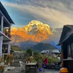
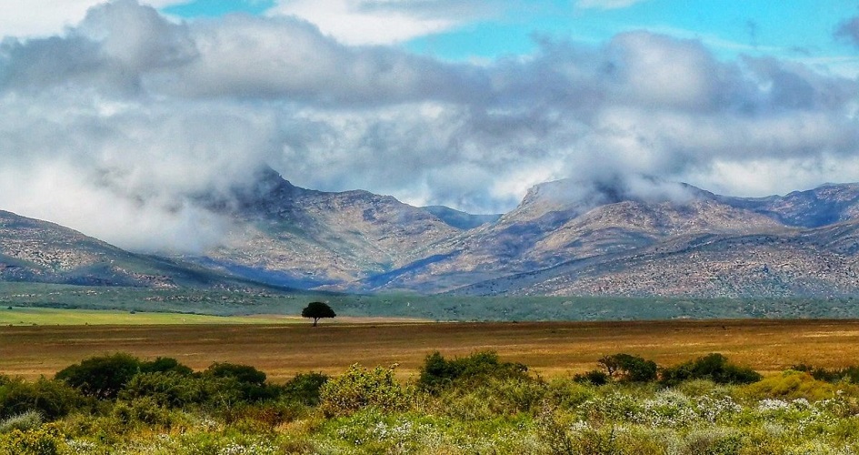
Udayapur: Nature's Tranquil Beauty
Credit:holidaypasal.com
Gaighat is 28 kilometres (17 miles) away from Kadmaha. The NH-09 links Gaighat with Khotang, 127 kilometres (79 miles) away, but the road is not paved.
Feeder Road F057 connects Gaighat to Chatara via Beltar-Basaha, 70 kilometres (43 miles) east of the Koshi river. Sindhuli is also connected to Katari through the F057 feeder route.
History of Udayapur District
Before the Shah kings unified modern Nepal, the Sen dynasty ruled Udayapur District. Chaudandi was the name of the kingdom, and Chaudandigadhi was the capital. When the Gorkha army evaded and conquered the Sen Kingdom Chaudandi, the last king of the Chaudandi, Karna Sen, fled to Bijayapur.
Panchawati was the administrative centre of the Udayapur District until 1972, when it was relocated to Gaighat.
Geography of Udayapur
Udayapur district is bordered on the north by the Mahabharat hills and on the south by the Shiwalik hills, which converge in the west to form the Udayapur valley.
The Triyuga river, which flows east to join the Koshi river, drains the Udayapur valley, which is about 30 km long and around 2 to 4 km (1.2 to 2.5 mi) deep.
Forest cover covers 67 per cent of the district's gross surface area. A total of 28% of the land is cultivated. The district's primary supply of water remains small and big rivers and wetlands. Rauta Pokhari, Jogidaha Chure Forest Pond, Suke Pokhari, Tapli Pokhari, and Jhilke Pokhari are some of the district's most significant water bodies.
There are no larger reservoirs in the area. Triyuga is the district's main dam. The Tawa Khola on the western side and the Vaidyanath River on the middle side join the Tawa River. Andheri, Kakaru Khola, Baruwa Khola, Yari Khola, Bahadura Khola, Rakula, and Rasuwa Khola are some of the other rivers in the district. The Sapta Koshi, Sun Koshi, and Kamala rivers pass through the district.
This district (low mid-hills) in the inner Terai ranges in elevation from 360 meters to 2,310 meters above sea level.
There are three different physiographic zones in the Udayapur district. They are:
- Mahabharat Hills
- Churiya Hills
- Inner Terai Region
Mahabharat Hills
In this district, the Mahabharat hill range extends from the Sun Koshi River on the northern side to the Inner Terai and, in some places, the Churiya hills. Middle hills with steep slopes and rocky mountain topography occupy about 60% of the district.

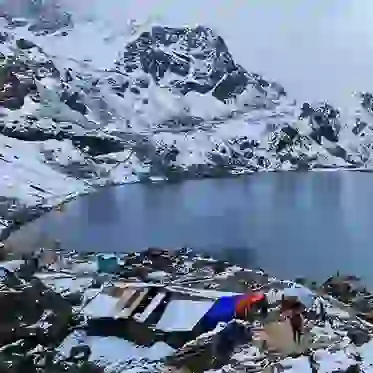
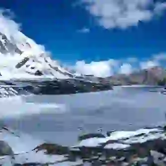
Udayapur: Lakeside Serenity Captured
Credit:omgnepal.com
This land consists of high hills such as Majhkharka, Lekhani, and Rautapokhari, ranging in elevation from approximately 1100 m to 2310 m.
Churiya Hills
The Churiya hills range in height from 550 to 1100 meters, stretching from the upper Mahabharata to Terai land in the south, with some plain inner Tarai land in the centre.
It covers about 9% of the district's land and consists of small inner Terai valleys such as Mainatar, Nepaltar, Murkuchi, and plains such as Bhuttar, Bahuntar, and Hardeni. The Panchawati, Bayaldanda, Rauta, and Tawashri VDCs are home to these valleys.
Inner Terai Region
At elevations ranging from 360 meters to 550 meters above sea level, this area makes up about 31% of the district. This area is primarily located along the Triyuga and Tawa Rivers' borders.

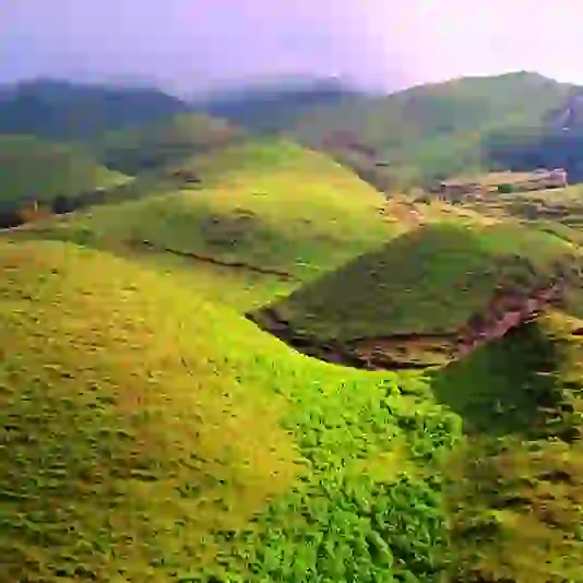
Nourishing Fields, Bounty of Nature
The Churiya range lies to the south of the area where inner Tarai occurs. The issue of river cutting or flooding has a significant impact on this area.
The Inner Terai Region contains important district locations such as Katari, Gaighat, and Beltar.
Places to Visit While in Udayapur
- Tribeni: It is a location within the Katari municipality where the three rivers Kamla, Tawa, and Dudhauli meet. Every year on the occasion of Makar (Maghe) Sankranti, it is visited by a large number of devotees. Around this time, a big fair is held that lasts for three weeks.
- Rauta: In the Rautamai rural municipality, there is a Hindu holy spot named Rauta. It is situated at the height of 2,000 feet (610 meters) above sea level on the Mahabharat hills. There is a Mahadev temple as well as Rauta Pokhari Pond. The pond is situated in the middle of a densely forested area.
- Koshi Tappu: Koshi Tappu is a wildlife-protected area. It is situated along the Koshi River in the south-eastern part of Udayapur. In Udayapur, the city of Rampur is the closest to Koshi Tappu.
- Chaudandigadhi Durbar: In Chaudandi, you can see the ruins of the Sen Kingdom's Chaudandigadhi fort. The Gorkha Army conquered the kingdom of Chaudandigadhi on July 16, 1773. Chaudandigadhi's ruins are now part of the Chaudandigadhi municipality.
- Khuwa Jharna (waterfall)
- Odari Khola ko Jharna (waterfall)